Climatic Station of Gundersheim, 193 m a.s.l.


Mountain station in June 2002

Home          previous         next

 © Dipl.-Geogr. Martin Werner


Observatory climatic stations


1. Plateau Station
2. Home Station
3. Valley Station


Position of the climatic stations
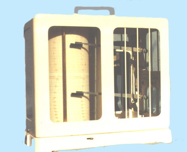
The Plateau Station  248m a.s.l.:
The station is situated outside the village on the broken-down bank of the Zeller Plateau that inclines to the valley of the Rhine with north-eastern exposure in an elevation of 248 m a.s.l. The boundary where the station is placed is called "Am Mohrkreuz" and lies inside the formerly deposit of garbage, which is now a restricted area. Owner is the Kreisverwaltung (administration of the district) Alzey-Worms in Alzey.

The Home Station
Inside the village the so-called "Heimstation" is set up in the private garden. It is situated on the hill slope (elevation: 193 m a.s.l.) inclining to east. On the 14th of June 1995, the head of the German Weather Office Trier visited the station for inspection.


The Valley Station  On the valley bottom between Gundersheim and Westhofen the so-called "Valley Station" is positioned in the south-western part of the area of a barrage. Despite, in former times the water surface was very large of extend, nowadays the water surface could be estimated by only 0.5 hectares.

Distance and elevation between the stations

Distance :Plateau Station --> Home Station 640 m
Distance :Home Station --> Valley Station 2450 m
Difference in elevation :Plateau Station --> Home Station 55 m
Difference in elevation :Home Station --> Valley Station 55 m


Talstation im Juni


Hygro-Thermograph
Equipment
 

Since the malicious destruction in summer 2000, the highest station is equiped with a hygro-thermograph and a rain gauge. Both instruments draw automatically once a week upon a cylinder air-temperature, humidity and rainfall. The diagram paper (acc. to DIN 58658) must be changed every week. (see also Glossary)

The rain gauge permanently records rainfall. The instrument created by Fa. Thiess (Prod.-No. 4010.20) has a sectional area of 200 cm 2.

In addition, the Home Station and the Valley Station are equiped with digital instruments, registering automatically on a hourly basis the following parameters:

  • air-temperature
  • air-humidity
  • air-pressure
  • wind direction
  • wind velocity
  • global radiation
  • precipitation


  • Measurements are stored in a data logger (memory module) with a capacity of 2339 data frames. A special interface is used to transmit the data from the module to the PC. After converting the data into the ASCII-format, a further computer-aided analysis of data can be done with software e.g. Excel, Access etc.

    To minimize data loss the facilities are operated with accumulators buffered by solar energy. Electric tension and capacity will be kept on a constant level by a regulator-unit.
     

    Extract from Topographic Maps Sheet No. 6215/6315 (Gau-Odernheim/ Worms-Pfeddersheim)

    Topographische Karte

    Data processing


    The climatic stations (Home Station, Valley Station) are equiped with digital instruments recording on an hourly basis.

    Seven meteorological parameters are registered including date and hour. With the aid of an interface data can be transmitted to the PC and also converted into the ASCII-Format. The analysis of the data will be done by a user-defined Excel-Sheet that calculates automatically the values of all parameters daily and monthly. Diagrams are realized such as monthly and annual progress of temperature and precipitation. In additional, diagrams of thermoisoplethes show graphically the progress of temperature by combining hourly and daily of measured values.

    Precipitation is collected in rain gauges according to Prof. Hellmann (WMO-standard) with a sectional area of 200 cm2. Hourly measurements of rainfall guarantee a detailed study of heavy rainfall.


    PC - Oberfläche
    Telemetrie


    Sonnenscheinschreiber


    The following parameters are measured:

    • Temperature [°C]
    • Humidity [r.F %]
    • Air-Pressure [hPa]
    • Global radiation [Lux]
    • Wind direction [° from N]
    • Wind velocity [kmh-1]
    • Precipitation

    The measured values are stored hourly by the data logger (Memory module). The capacity of the data logger counts a maximum of 2339 data frames (= 32 Kb).

    Construction and functionality of the data logger

    The data logger consists of a microcontroller-chip that is placed in a plastic box. The storage capacity of the chip is at about 32 kilobytes (Kb), corresponding to 2339 data frames (1 frame consists of 14 bytes). Adjusted to hourly measurments, the chip is able to record data within a period of 97 days and 12 hours. From the case of the memory module consists of a flat cable with a plug connector. This plug connector. The connecting plug serves for the connection with the main module of the station during the data recording. To import data into the PC a periperal interface adapter is used. The micro tracer on the top of the case of the module serves for the different modes of operation.

    Technical data

    Operating voltage (3 button cells 1.5 V) = 4.5 V Power input: < 2 mA

    Storage capacity: 32 kB, 2340 frames

    Number of data:
              
    time period
    count
                                          
    hour
    7
    day
    168
    week
    1. 176
    month
    5. 040
    year
    60. 480

    top

    top