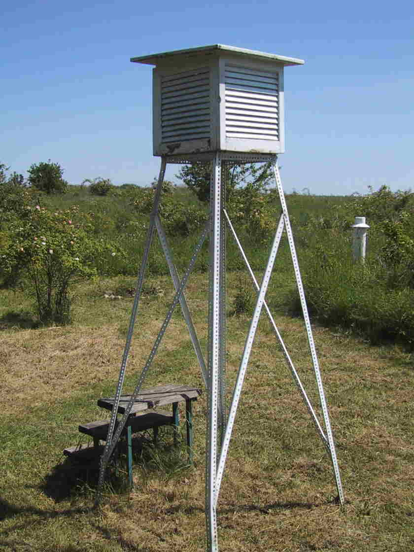
Climatic Station of Gundersheim, 193 m a.s.l.
© Dipl.-Geogr. Martin Werner
Elevation Map
of the Rhineland-Palatinate

Topography
Coordinates (geographic) : 8° 11' / 49° 42'
Coordinates (according to Gauss-Kruger) : 3442200 / 5506400
Gundersheim
Do we look in a smaller scale, the region of Rheinhessen is
embedded picturesque inbetween the surrounding subdued mountains:
the Rhenanian Slate Mountains in the north and northwest, the mountains of the
North-Palatinate in the west, the so-called "Pfälzerwald" in the south and the mountainous
region of the Odenwald in the east.
At the position of Gundersheim, the plateau inclines to northeast and southeast: in the northeast
the "Wetterau" beneath Frankfurt is visible, in the southeast, the industrial cities Ludwigshafen/
Mannheim extend in the plain of the river Rhine.
Strictly speaking, Rheinhessen is a flat upland
area, only interrupted from large troughs. All towns are founded in the valley and on the
valley heads because of the availibility of water. There are no towns to find on the upland area
with the exception of Hochborn, which is situated above the valley end on the plateau.
Only after measures of drainage the valley floors could be included in the settlements.
Due to its position in the weather-protected side of the vicinity the climatic conditions
of Rheinhessen can be considered as exceptional favorable: with an area of 25.000 hectares
Rheinhessen is one of the most important wine-growing regions of Germany.
The climatic conditions in Gundersheim are similar to those in the whole region but essential more
pronounced (see:"Climatic conditions")
The so-called erosion-zone of Gundersheim/Eppelsheim extends from west to east directly to
the valley of the Rhine and is situated between the plateau of Hochborn
in the north and the plateau of Zell in the south.